Μετάφραση και ανάλυση λέξεων από την τεχνητή νοημοσύνη ChatGPT
Σε αυτήν τη σελίδα μπορείτε να λάβετε μια λεπτομερή ανάλυση μιας λέξης ή μιας φράσης, η οποία δημιουργήθηκε χρησιμοποιώντας το ChatGPT, την καλύτερη τεχνολογία τεχνητής νοημοσύνης μέχρι σήμερα:
- πώς χρησιμοποιείται η λέξη
- συχνότητα χρήσης
- χρησιμοποιείται πιο συχνά στον προφορικό ή γραπτό λόγο
- επιλογές μετάφρασης λέξεων
- παραδείγματα χρήσης (πολλές φράσεις με μετάφραση)
- ετυμολογία
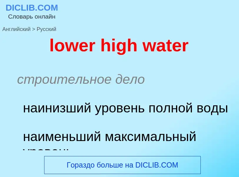
lower high water - translation to ρωσικά
строительное дело
наинизший уровень полной воды
наименьший максимальный уровень
общая лексика
верхняя палата (парламента)
Ορισμός
Одежда, наряд (обычно женский).
2. м.
1) Приведение в порядок своего внешнего вида, надевание одежды.
2) Столик с зеркалом или зеркалами, за которым накладывают макияж, причесываются и т.п.
3) Помещение для отправления естественных надобностей человека; уборная.
Βικιπαίδεια

A chart datum is the water level surface serving as origin of depths displayed on a nautical chart. A chart datum is generally derived from some tidal phase, in which case it is also known as a tidal datum. Common chart datums are lowest astronomical tide (LAT) and mean lower low water (MLLW). In non-tidal areas, e.g. the Baltic Sea, mean sea level (MSL) is used. A chart datum is a type of vertical datum and must not be confused with the horizontal datum for the chart.


![[[Australian House of Representatives]] [[Australian House of Representatives]]](https://commons.wikimedia.org/wiki/Special:FilePath/Australian House of Representatives - Parliament of Australia.jpg?width=200)
![United Kingdom House of Commons]] United Kingdom House of Commons]]](https://commons.wikimedia.org/wiki/Special:FilePath/House of Commons Chamber 1.png?width=200)
